Destination
Rundkollen / Lifjellet
Into the mountains behind Villa Sjøsiden
1,019 m · Lavangen / Salangen · Northern Norway
Rundkollen, known locally as Lifjellet, rises to 1,019 metres above sea level on the border between Salangen and Lavangen.
In summer the mountain is reached by a route through relatively gentle mountain terrain from the Salangseidet side. In winter the area around Rundkollen also offers opportunities for ski touring and backcountry skiing.
Rundkollen is part of the mountain landscape rising behind Villa Sjøsiden.
- 1 019 m
- Summit elevation
- ~6 km
- To the summit
- ~12 km
- Round trip
- 3–5 h
- Estimated time
These figures refer to the summer route described here, starting from Salangseidet / Einarmyra. They do not describe a winter ski touring route.
SUMMER – Hiking Rundkollen
The summer route described here starts at Salangseidet, in the Einarmyra area. It is about six kilometres to the summit one way, roughly 12 kilometres round trip, with an estimated total time of 3–5 hours.
Much of the terrain consists of grassy mountain slopes, and according to the source material the route has no particularly demanding technical sections.
That does not make the route easy in all weather. A 12-kilometre mountain hike and a summit above 1,000 metres call for normal hiking fitness and gear suited to the conditions.
At 1,019 metres
Large stone cairns stand on the summit of Rundkollen, and the top opens up a wide view across the surrounding mountain landscape.
In clear conditions the view can reach as far as Jiehkkevárri; the sources put the distance at more than 100 kilometres. Long-distance visibility always depends on the weather.
Skavneskollen
Rundkollen can be combined with a longer outing over nearby Skavneskollen. No detailed route description for that combination is given on this page.
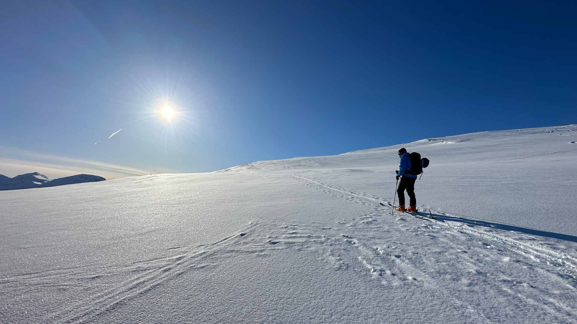
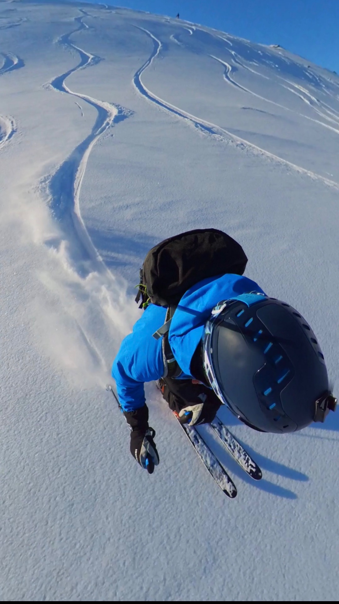
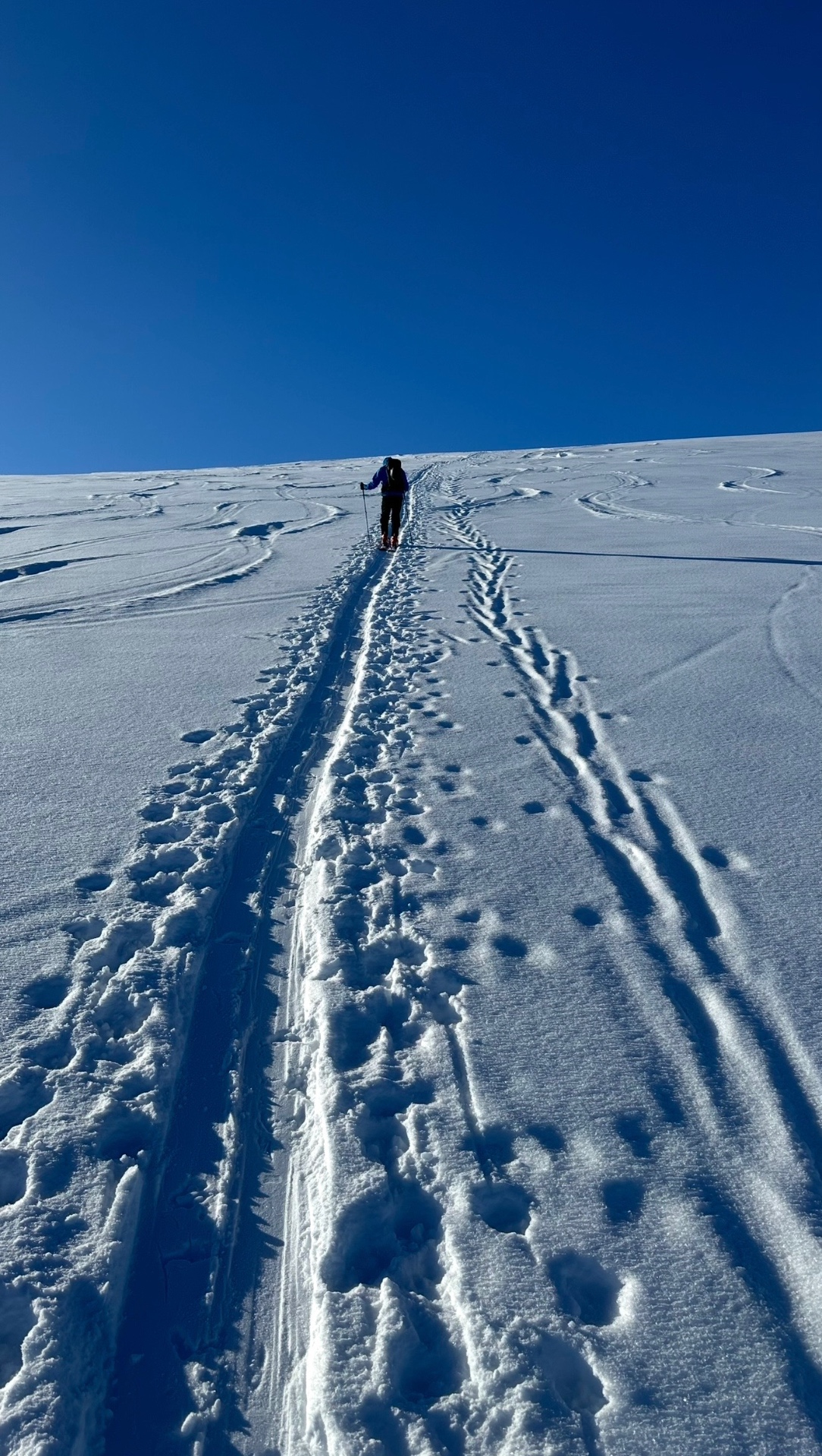
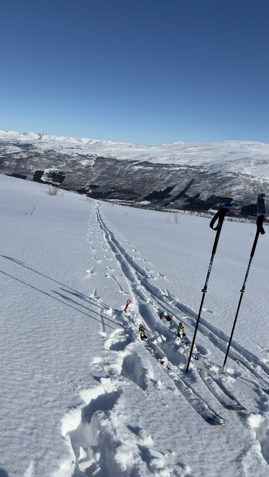
WINTER – Skinning up straight from the cabin
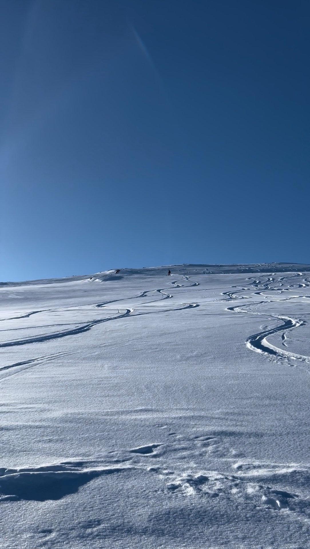
Rundkollen rises to 1,019 metres directly behind Villa Sjøsiden. In winter you can start the tour straight from the cabin, which adds up to roughly the same vertical gain as a summit day on Spanstinden.
Higher up the terrain is open and there are lines to ski across a wide area. Lower down the slope turns into forest that varies from sparse to somewhat denser. If you plan to ski all the way back to the cabin, work out your descent line in advance — down in the trees the direction you pick matters.
You can also start from an alternative, higher trailhead reachable by car, which makes the day considerably shorter. Allow around 5–8 hours when starting from and skiing back to the cabin, and roughly 2–4 hours from the upper start, depending on conditions and the route chosen.
We have skied Rundkollen with people who were new to backcountry skiing as well. The area offers different terrain options, and what suits you depends on your experience and on the snow and weather that day.
In winter you will meet both freeriders and people out on touring skis here. You may also spot ptarmigan along the way.
Topptur in Northern Norway
In Norway, climbing a mountain on skis and skiing back down is called a topptur. Ski touring is a common winter activity here, and on good days you will see people of all ages on the routes.
Northern Norway has plenty of ski touring and backcountry options, and Rundkollen is one of them close to Villa Sjøsiden. The wider area also has equipment rental and local guides, some offering services in Norwegian and Finnish. Villa Sjøsiden provides accommodation — we do not run guiding or rental services ourselves.
Safety in winter
Route and descent are always chosen according to the prevailing snow, weather and avalanche conditions. The summer route is not automatically a safe winter route, and the current weather and avalanche forecast should be checked before heading up.
Winter on Rundkollen
The mountains start close by
Rundkollen / Lifjellet is part of the mountain landscape behind Villa Sjøsiden — the fjord in front, the mountains behind.
The summer route described here does not, however, start from the cabin's yard, but from Salangseidet / Einarmyra.
Starting point
The summer route described here starts at Salangseidet, in the Einarmyra area.
No exact parking address or coordinates are given here. A map link may be added later.
- Salangseidet
- Einarmyra
- Salangen / Lavangen
Good to know – summer
- Summit at 1,019 m
- Start at Salangseidet / Einarmyra
- About 6 km to the summit
- About 12 km round trip
- Estimated time 3–5 h
- Much of the terrain is grassy mountain slopes
- Large stone cairns on the summit
- Wide views over the surrounding mountains
Good to know – winter
- From the cabin: about 5–8 h
- From the upper trailhead: about 2–4 h
- Plan the descent line back to the cabin in advance
- Route chosen according to snow and weather
The mountains as part of the Villa Sjøsiden landscape
Villa Sjøsiden sits by the fjord, and Rundkollen / Lifjellet rises in the mountains behind the cabin. In summer the area invites hiking; in winter the mountain landscape can be explored on skis.